Rain odd increasing for next weekend!
10-12-24. 3:30pm. This Update is brought to you by Dietz-McLean Optical. www.dmoptical.com
We are still looking at a backdoor cool front from the NE to move through on Tuesday night or Wednesday morning, but before then, we will have to suffer through upper 90's on Sunday, Monday and possibly Tuesday. Temperatures should drop a little, with highs lowering into the 80's and lows in the 50's and 60's. This front is not turning out to be as strong as originally advertised, but any relief is a good thing.
The exciting news is our increasing chance for rain starting on next Friday, as an upper-level low forms over the SW. Depending on how quickly the low moves east and how far south it ends up tracking, will determine how much rain we end up getting over next weekend. At this time most of the models are forecasting a chance for several inches of rain over south-central Texas and lesser totals for south Texas.
Keeping my fingers crossed for this potentially great news for not only Texas, but the SW states as well.
Mark

This Update is brought to you by Dietz-McLean Optical. www.dmoptical.com

High temperatures on Sunday look a whole lot like summer temperatures than fall. We could see some record highs broken on Sunday and Monday.
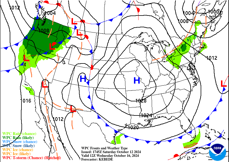
A backdoor front from the NE will sneak in on late Tuesday or early Wednesday.

An upper-level low is forecast to develop late next week, giving a good chance for rain starting on Friday.
How much rain these models thinks will fall from Friday through the 22nd. Click on images to see them larger.


