Bad models and temps…how about some fall photos?
10-13-24. 3:45pm. This Update is brought to you by Bahia Services and Rentals in Port O'Connor, TX https://www.facebook.com/BahiaServicesandRentals
I'm hoping between the high temps today and the latest model runs that are drier than yesterday, you guys won't riot in the streets! To possibly appease you, I'm sharing some fall photos I took up here in SW Colorado today.
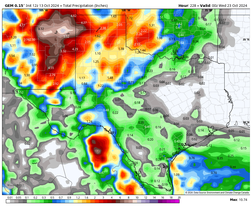
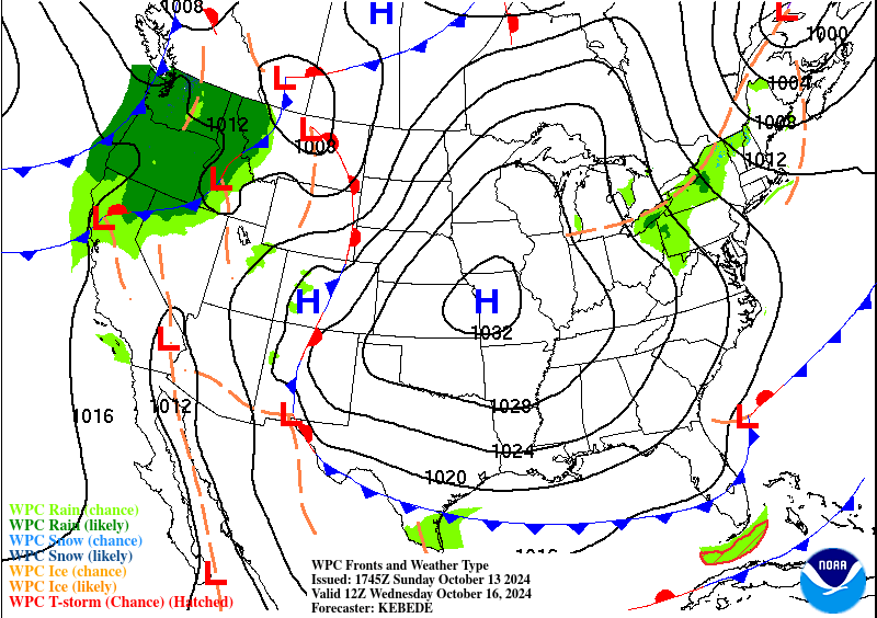
On a serious note, it's awful to see some 100's on the map this afternoon and as of today's model runs, the strong upper-level low that we were excited about yesterday, is now forecast to move from southern California, then NE through Colorado and into the plains, leaving most of the big rains in north Texas and New Mexico. We still have almost a week before this storm impacts us, so I'm hoping it takes a more southern route before making its turn to the NE. A few hundred miles would make a big difference.
As far as temperatures go, look for another hot one on Monday and Tuesday before a front arrives on Tuesday night, knocking our lows into the 50's (possibly some 40's in the Hill Country) and highs in the lower 80's.
Mark

This Update is brought to you by Bahia Services and Rentals in Port O'Connor, TX https://www.facebook.com/BahiaServicesandRentals
Some fall images I took this morning in Pagosa Springs, CO. Click on images to see them larger. © 2024-Mark Langford.


High temps so far today.
Some heat relief is due on Tuesday night.

The latest model runs are sending our upper-level low too far to the north to do us much good next weekend.
Click on images to see them larger. How much rain the latest model runs think will fall from Friday through the 23rd