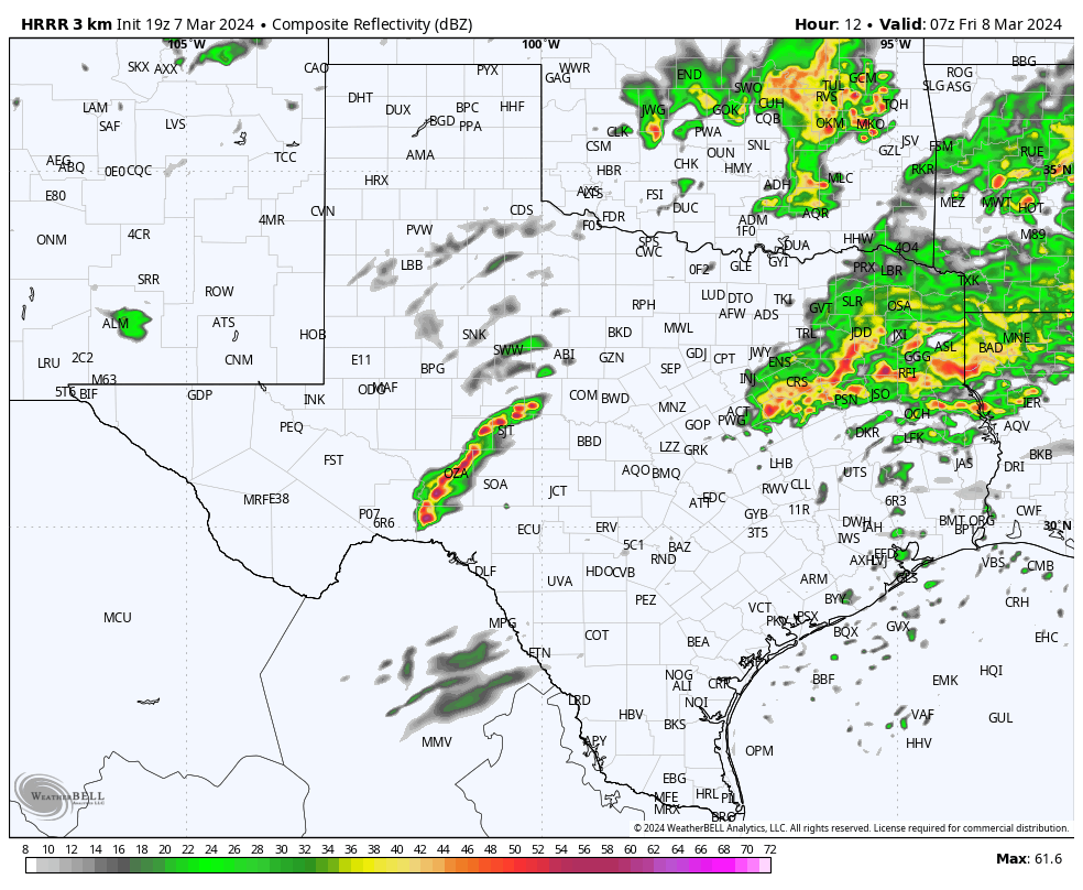
Most of the activity will stay to our north…
3-7-24. 3pm This update is brought to you by Davy Ranch Supply in Yorktown, TX. davyranchsupply.com
From the SA-Austin NWS: “No significant changes to the forecast. The level 2 of 5 risk for severe thunderstorms has shifted slightly north to northern Llano and Burnet Counties. The level 1 risk remains the same. Timing still looks about the same from around 2am to 11am Friday. The main threat is for large hail, and we can't rule out an isolated tornado.”
This will primarily be a central and north Texas event, but as seen on the latest radar imagery, there are a few pre-frontal poppers forming this afternoon. While the best odds for rain will stay north of San Antonio, there is still a chance for some rain this afternoon and evening, even for southern sections of south-central Texas.
As always, please tune into your local NOAA radio or emergency apps for warnings.
Below is the latest situation update from the NWS and model runs.
Mark
This update is brought to you by Davy Ranch Supply in Yorktown, TX. davyranchsupply.com
A Severe Thunderstorm Watch has been issued this afternoon for parts of west-central Texas. Below is the NWS situation report and the latest graphics from the Storm Prediction Center.
HRRR forecast future radar…Midnight, 2am and 4am.
How much rain the latest models are predicting over the next 24 hours.


