Short-range model runs today…
11-16-24. 4:15pm. This Short-Range Update is brought to you by 5E Trailers in Marion. They’re here to help you find the perfect trailer at the best price! https://www.5etrailers.com/
We’re going to do something a little different today…let’s focus on what the models think will happen tomorrow late afternoon through Monday! We’ll talk about our strong front coming and even look into the latest forecasts for Thanksgiving tomorrow.
Below are several animated forecast GIFS showing the approaching low pressure and where it will track along with some of the higher definition models indicating what could be on radar tomorrow afternoon through Monday.

This Update is brought to you by 5E Trailers in Marion. They’re here to help you find the perfect trailer at the best price! https://www.5etrailers.com/

Here’s how the latest EURO model thinks the low pressure will track from today through Wednesday…notice it eventually goes poof in the plains!

Here’s how the latest HRRR model predicts what radar will look like from tomorrow through mid-day on Monday.
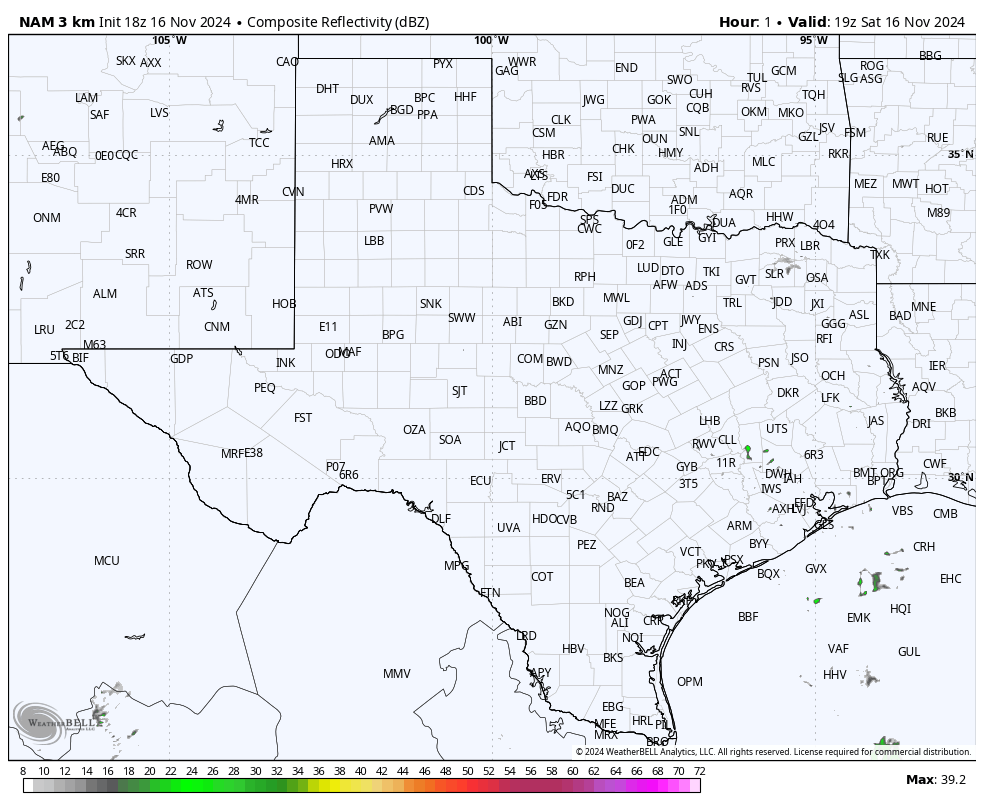
Here’s how the latest NAM model predicts what radar will look like from tomorrow through mid-day on Monday.

Where the best odds for severe storms will occur tomorrow through Monday morning.

Where the best odds for severe storms will occur Monday morning through Tuesday morning.
How much rain these models are predicting from tomorrow through Monday. Click on images to see them larger.


