Cooler tomorrow with a lot of wind!
2-27-24 3:30pm. This update is brought to you by Dietz-McLean Optical. www.dmoptical.com
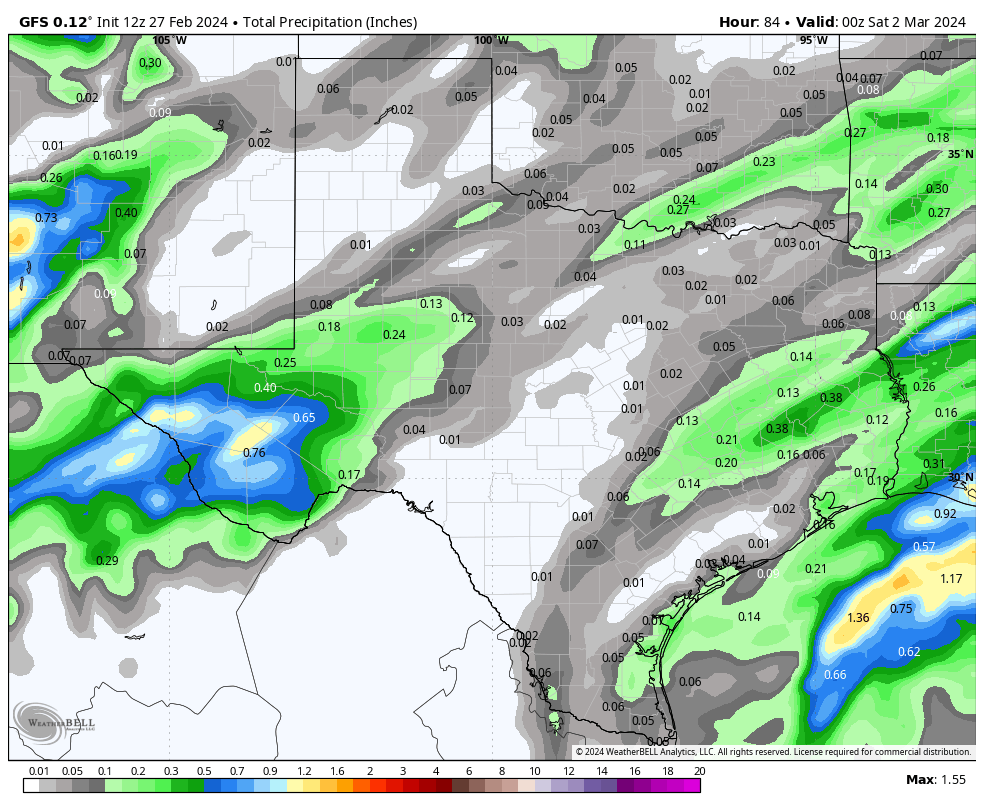
Another warm afternoon for south-central and south Texas with temperatures in the 80’s and even a few 90’s showing up. Look for a foggy night until a fast-moving front moves through tomorrow morning with a blast of winds that will gust to around 40mph for most locations. On Thursday, the clouds return and there is a tiny chance for precipitation, but if you get anything measurable, consider yourself lucky! Thursday will be cool and cloudy with highs only in the 50’s. By Friday, the sun returns and our highs bounce back into the 70’s, with 80’s returning by the weekend. Models are looking a bit more bullish for rain returning next week, but no sign of a major rain event anytime soon.
Below are graphics for forecast high wind gusts for Wednesday, front location on Wednesday, surface map for Thursday and forecast rain totals for Thursday.


