Front #1 is moving through!
11-25-24. 5:30pm. This Update is brought to you by Bahia Services and Rentals in Port O'Connor, TX https://www.facebook.com/BahiaServicesandRentals
As of this post time, our first front of the week has just passed through San Antonio and is heading into south Texas this evening. In case you haven’t noticed, winds are gusting to almost 30mph and will continue to do so tonight. This is a “drive by” front, so enjoy the cool weather while you can…we will be back into the 80’s by Wednesday. Our next front arrives Wednesday night, keeping us from running our AC units on Thanksgiving, with highs mainly in the 60’s. A cold night and morning for Black Friday…you’ll need a decent jacket and gloves if you plan on getting in line before sunrise for those special deals!
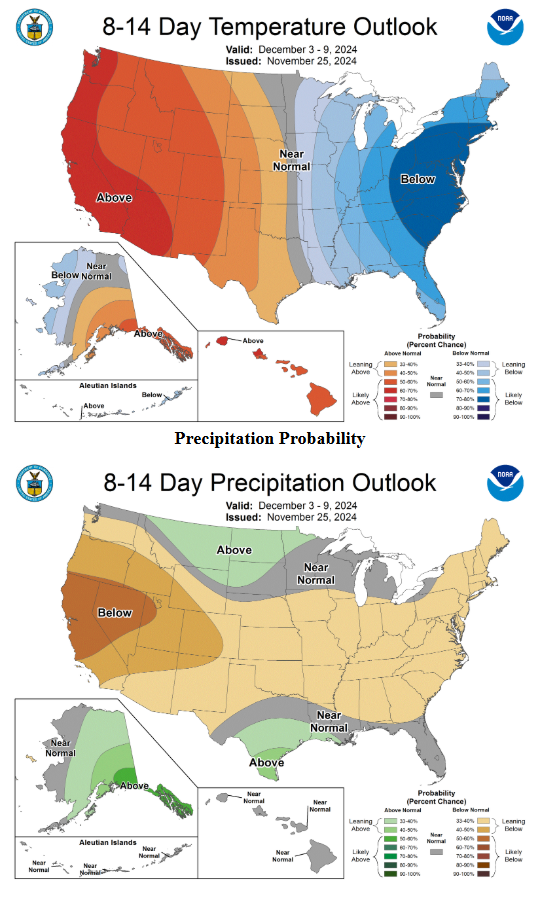
Slightly below normal temperatures will continue into early next week, then start to modify as we close the first week of December. As temperatures modify, our odds for rain improve around the 6th of December and may continue for several days. Both the 6-10 and 8-14 day CPC outlooks look bullish for above normal chances throughout that period.
A wrap up of this hurricane season from the NHS: (for what it is worth, I predicted an above average year) Graphics below.

The 2024 Atlantic hurricane season, which officially ends on Nov. 30, showcased above-average activity, with a record-breaking ramp up following a peak-season lull. The Atlantic basin saw:
-18 named storms in 2024 (winds of 39 mph or greater)
-11 of those were hurricanes (winds of 74 mph or greater)
-5 intensified to major hurricanes (winds of 111 mph or greater)
Mark

This Update is brought to you by Bahia Services and Rentals in Port O'Connor, TX https://www.facebook.com/BahiaServicesandRentals
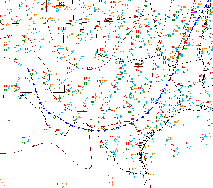
The front has slipped to the south of San Antonio as I do this post.

Forecast wind gust over the next 24hrs.

Forecast lows on Black Friday!
Ensemble model rainfall forecast totals from Dec 6th-10th. Click on images to see them larger.