One more hot day, then good chances for rain.
5-8-24. 4:30pm. This update is brought to you by Bahia Services and Rentals in Port O'Connor, TX https://www.facebook.com/BahiaServicesandRentals
So, for those of you in the western and southwestern counties, the clouds parted and temperatures have soared to 100 degrees or more this afternoon. For those of you who are still cloudy, temperatures are not as bad, but with the brutal humidity, the heat index temperatures are almost as bad as counties to the west! Either way, it will be a hot one today and tomorrow before a decent cold front arrives Thursday night with a tiny chance for rain.
Before I forget, there is a Tornado Watch which includes a few counties in south-central Texas until 10pm tonight. While there is a slight chance storms could form in areas outside of the watch zone, it is unlikely.
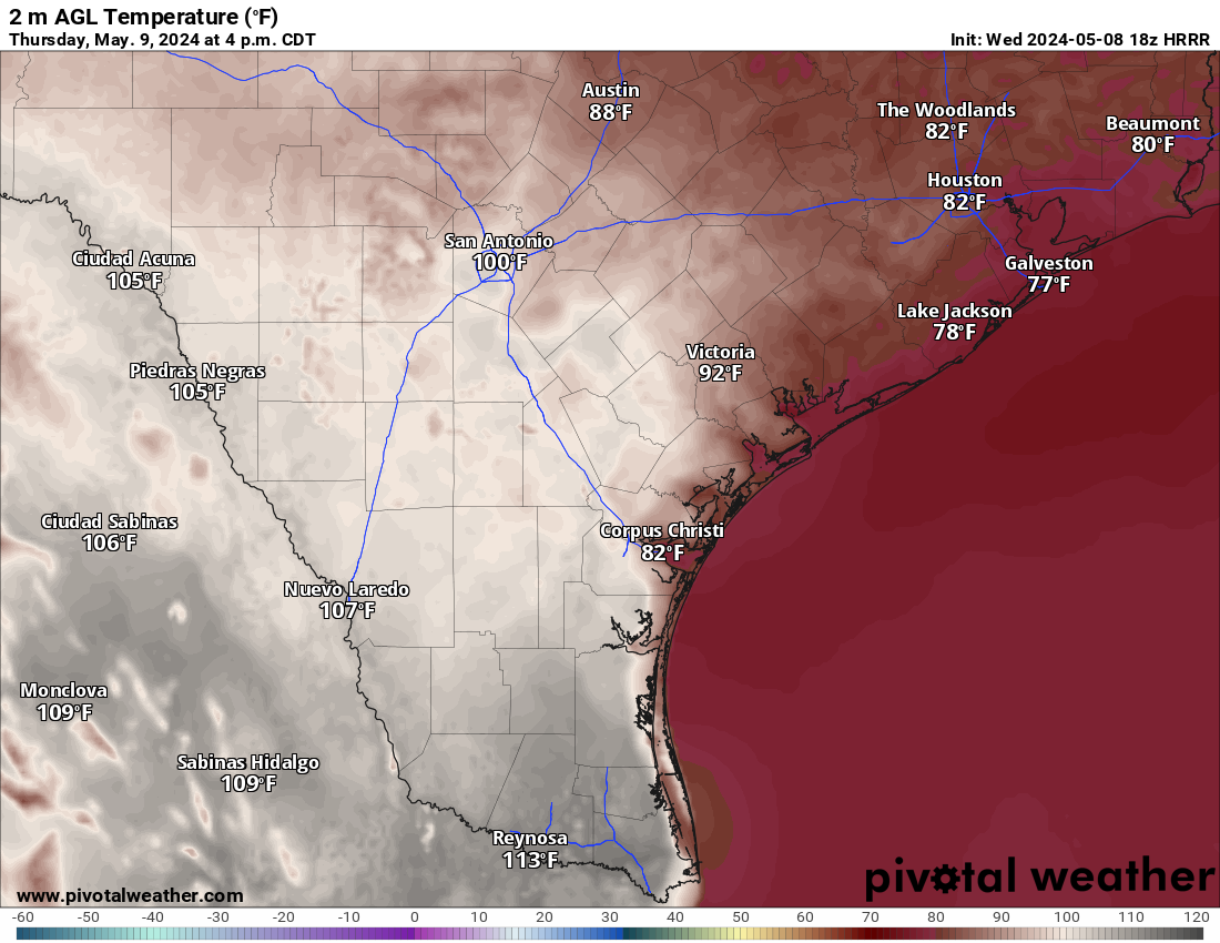
Ahead of the front tomorrow, look for a repeat of today, except more areas may see a break in the clouds and cities like San Antonio have a chance of hitting the century mark. Even if you don’t, the heat index will run over 100 degrees for a large part of south and south-central Texas. There will be a chance for more severe storms tomorrow, but most will stay to our NE.
Our rain odds start ramping up on Saturday as a cut-off low forms near the UT-NM-NV border and begins to send some disturbances our way as it slowly moves to the east. I’m rooting for this low because not only does it have a chance to send some rain towards south-central and south Texas, but it will likely give my area (SW Colorado) some rain/snow this weekend…we are running very dry up here as well! The low will have its best impact on Texas on Sunday and Monday, with all areas seeing a chance for storms during that period.
A I mentioned yesterday, spring storms are almost always convective, which means rain lottery winners and losers…hopefully there will be more winners than losers with this system!
Mark

This update is brought to you by Bahia Services and Rentals in Port O'Connor, TX https://www.facebook.com/BahiaServicesandRentals

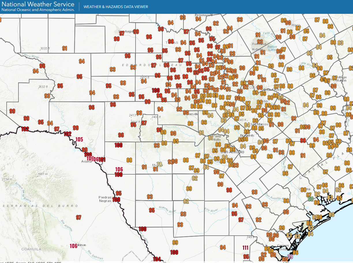
4pm temperatures

4pm heat index temperatures…Yikes!
Tomorrow’s forecast high temperatures.

Tomorrow’s potential for severe storms.
The latest-greatest model runs for total precipitation from today through Monday. Click on images to see them larger.


