Not much change in the short term…
6-7-24. 2:45pm. This update is brought to you by 5E Trailers in Marion. They’re here to help you find the perfect trailer at the best price! https://www.5etrailers.com/
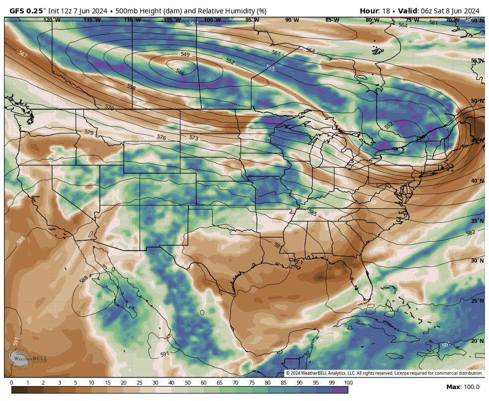
Not a lot to talk about in the short term...continued hot and humid and a chance for some rain on Monday as the dying remnants of a cool front go "poof" in our area. By Wednesday of next week, our temperatures will be approaching or exceeding 100 degrees again.
The tropics remain quiet and for at least the next week, the NHC does not anticipate any tropical activity.
As most of you know, I have been feeling bullish for rainfall starting around the third week of this month and continuing into at least early July. Based on the latest long-range models, it appears that high pressure will build to our NW and East, putting us in between two high pressures and allowing Gulf moisture on the surface and mid-levels to stream into Texas. This will allow for afternoon and evening sea-breeze storms to form on a daily basis. This could be a great pattern change that will not only bring us more clouds and rain chances, but lower our high temperatures back into the low-mid 90's. As a bonus, if anything were to form in the tropics, it also gives us better odds of a system moving into Texas.
Have great weekend!
Mark

This update is brought to you by 5E Trailers in Marion. They’re here to help you find the perfect trailer at the best price! https://www.5etrailers.com/

Our next chance for rain will come on Monday when a cool front will wash out over our area.


Click on images to see them larger. How much rain the latest models think will fall on Monday and Tuesday of next week.


Click on images to see them larger. How much rain the latest models think will fall in the last two weeks of June.


Click on images to see them larger. Mid-level moisture over the USA as of tomorrow on the left. Brown is dry. On the right, forecast Mid-level moisture over the USA as of the 23rd. A big difference!