Wow!
9-3-24. 4:30pm. This Update is brought to you by Davy Ranch Supply in Yorktown, TX. davyranchsupply.com
I can't wait to see the drought update on Thursday...with so much rain falling over the western counties, we are bound to see some major improvements in the ongoing drought conditions for them. I watched several posts today from San Antonio, where over 3 inches fell in places and caused some pretty major flooding in the Olmos Park area of Bexar County. I also saw that HWY 83 is closed in Dimmit County south of Catarina.
This update from the SA-Austin NWS sums things up nicely!
Key Messages:
1. A Flood Watch is in effect for the Rio Grande and parts of the
southern Edwards Plateau through midnight tonight.
2. A large area of the Rio Grande has received one inch of rainfall
with highest totals ranging from 3 to 6+ inches in 24 hour period.
3. New rainfall amounts of 2 to 4 inches are possible across some
locations along the Rio Grande and southern Edwards Plateau
including the western part of the Hill Country through late this
evening.
4. A weak frontal boundary is pushing across the local area tonight
to cut rain chances over parts of the Hill Country and the Intestate
35 corridor. The Rio Grande and the Coastal Plains have the better
chances for showers overnight.
Look for the best odds for rain this afternoon and tonight, before some drier air moves in tomorrow, dropping our odds a bit. Even so, we continue with a chance for scattered storms through Friday.
By this weekend, we get our first cool front of the season (notice I didn't use the word "cold"). We could see 50's in the Hill Country and 60's in south and south-central Texas for lows on Sunday and Monday morning! Highs will drop to the upper 80's and low 90's, depending on where you live.
While the tropics are heating up a bit, all of the current waves and disturbances are still weak and have only a 30% of becoming a tropical something in the next week.
Mark

This Update is brought to you by Davy Ranch Supply in Yorktown, TX. davyranchsupply.com

4:15pm radar update


NWS rainfall totals from the past 12hrs.
Click on images to see them larger. How much these models think will fall between today and Friday.


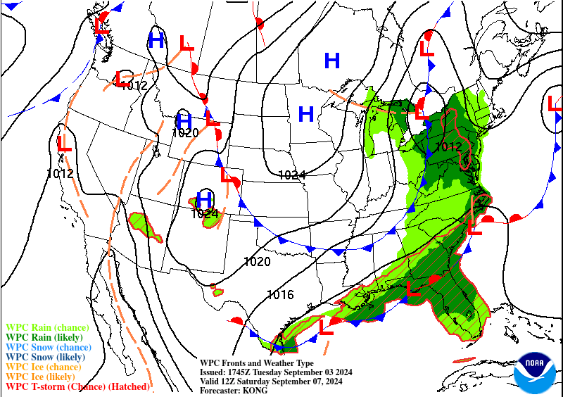
We get our first "cool" front on Saturday!

Forecast lows for Sunday am.

Forecast lows for Monday am.

Lots of activity, but no decent odds for storms to form in the next 7days.